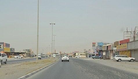
Today we drove about 160 km / 100 miles from Dibba in the UAE, back across the UAE and then north into the Musandam Peninsula which actually belongs to Oman! The roads are minimal in this part of the UAE so we drove back west along the northern part of the Dubai Emirate (state) actually slightly towards Dubai, arriving in the small city of Ras Al-Khaimah (translated means “Top of the Tent”) . There we headed north towards the Peninsula. As we drove through these small towns, I imagined this is what Abu Dhabi and Dubai probably looked like 30 years ago when this country was just beginning to develop.
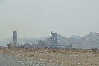
The first part of this drive was not as nice as I had expected, the towns were mostly industrial. Cement factories were everywhere. but once we crossed the border into Oman the landscape became spectacular!
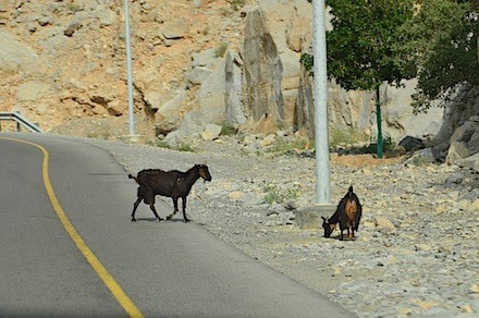
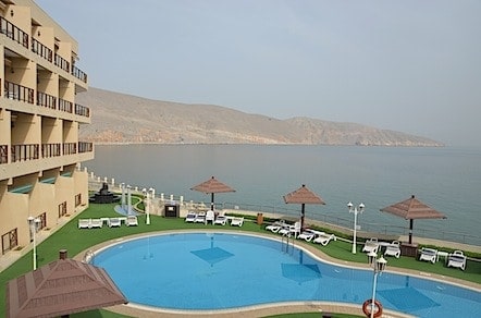
Ras Al-Khaimah (RAK) was also not the large city I had expected. But here we headed north and arrived at the border crossing. This took an hour! In one office as you leave the UAE they checked out passports and car registration, then around the corner as you enter Oman, we entered another office, paid again for a visa, had car registration checked and passports stamped! Finally we were on our way with only another 35 km until we reached our hotel! As I said before the landscape changed almost immediately. What had been dry hills turned into beautiful rock formations reaching towards the sky. I was actually reminded of the drive from Los Angeles to San Francisco as the road wound around the Gulf. Our hotel was perched at the top of the bend over looking the Gulf.
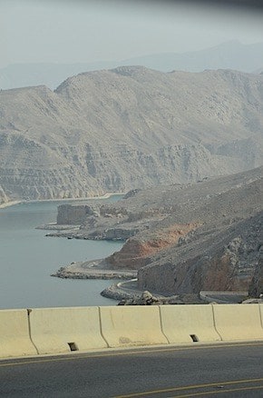
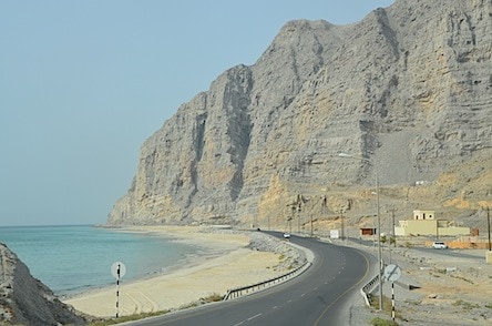
Why this small piece of the Peninsula belonged to Oman was a question we had to research. It covers an area of about 3000 sq km / 1200 sq miles all of which is mountainous and the coast has fjord like inlets. It is the least known and least populated area of the region. We did find out why this area became a part of Oman. It was originally inhabited by a local bedouin tribe the had ties to Oman. This peninsula juts out into The Straight of Hormuz. “This is a narrow, strategically important waterway between the Gulf of Oman and the Persian Gulf. It is the only sea passage to the open ocean for the large areas of the petroleum-exporting Persian Gulf. About 15 tankers carrying 16 million barrels of crude oil pass through the straight on an average day.”! Back in the late 1960’s when the UAE was forming, this bedouin tribe was asked to pledge their allegiance to either Oman or the UAE. They chose Oman, so the boundary lines were drawn based on the location of this tribe. I’m thinking those tribesman are wishing they had chosen the UAE now!
Leave a Reply